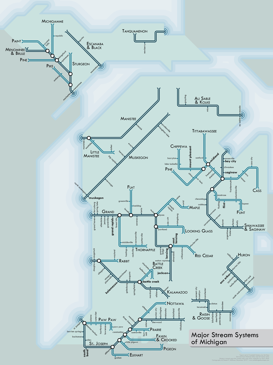
Major stream systems of my beloved home of Michigan, rendered as an urban transit network. I originally intended to do one map per state (or group of states, for the smaller ones), starting with Michigan, but I decided later to use watersheds, rather than political boundaries, as the basis for a map series.
Click the image below to view/download a free PDF, which you may use according to the Creative Commons Attribution-NonCommercial-ShareAlike 3.0 Unported License. If you wish, you can pay me what you think my work is worth, via PayPal.

Very cool Michigan map. I like the idea of doing maps for all the Great Lakes. I would like to see a more detailed map of Southeast Michigan, especially Detroit. You can’t forget about the Rouge River or Conner Creek! Perhaps in the future?